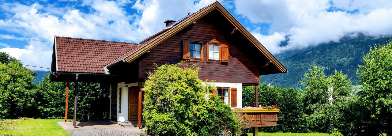
Restaurant Stofflwirt is a Carinthian classic with a twist, serving up authentic Austrian cuisine in a setting that’s equal parts cozy and scenic. Tucked away at Deutschberg 6 in Bodensdorf, this family-run spot is a favorite among locals and hungry travelers alike—and for good reason. Their menu features regional staples like Wiener Schnitzel, Kärntner Kasnudeln, and seasonal specialties, all prepared with fresh ingredients and a generous hand.
The location is a real showstopper: perched above Lake Ossiach, Stofflwirt boasts a sun terrace with panoramic views that practically beg you to linger over lunch. Whether you’re hiking the nearby trails, cycling through the hills, or just looking for a hearty meal with a side of Alpine charm, this is the place to refuel and relax. There’s even a playground for the kids, so everyone leaves happy.
If you’re after traditional flavors, warm hospitality, and a view that’ll make your Instagram followers jealous, Stofflwirt is the spot to put on your Carinthian itinerary.
High above the clouds: The Grossglockner Hochalpenstrasse carves its way through the Austrian Alps, promising adventure at every turn. Photo by Viktor Hanacek
Short Facts:
Duration of the journey from Chalet Bjoerk: About 1 hour 15 minutes (approx. 80 km)
Recommended Equipment: Camera, sunglasses, windbreaker, warm clothes, and a healthy respect for gravity
Location & History
The Grossglockner Hochalpenstrasse is Austria’s legendary high alpine road—a 48-kilometre ribbon of asphalt that snakes through the heart of the Hohe Tauern National Park, connecting Bruck in Salzburg to Heiligenblut in Carinthia. This is not just a road, folks; it’s an experience. With 36 hairpin bends, the route climbs to dizzying heights—Edelweißspitze at 2,571 meters, and the iconic Kaiser-Franz-Josefs-Höhe, with jaw-dropping views of Austria’s tallest peak, the mighty Grossglockner (3,798 m).
Built between 1930 and 1935, the road was Austria’s answer to the Great Depression—an ambitious feat of engineering and optimism. Today, it’s one of the country’s top tourist attractions, drawing car enthusiasts, hikers, cyclists, and anyone with a pulse and a penchant for panoramic vistas.
The Adventure
Start your ascent at the Ferleiten toll booth, and let the serpentine road lead you ever higher. Each turn delivers new scenery: lush valleys, alpine meadows, and, if you’re lucky, a cameo by a marmot or two. Stop at the Edelweißspitze for a 360-degree view of over 30 peaks above 3,000 meters. If you’re feeling particularly intrepid, branch off to the Kaiser-Franz-Josefs-Höhe for a close-up of the Pasterze Glacier and maybe a selfie with the Grossglockner itself.
Along the way, you’ll find themed exhibitions, hiking trails for all levels, and a chance to spot the “High Five” of Alpine wildlife: ibex, golden eagle, marmot, Apollo butterfly, and alpine bumblebee. Don’t forget to check out the Haus Alpine Naturschau—where you can geek out over crystals, flora, and fauna.
General Info
General Info
Check the official website for up-to-date opening times, toll prices, and weather conditions.
Expect cooler temperatures and sudden weather changes—pack accordingly.
The road is popular with classic car rallies and cyclists, so don’t be surprised if you share your panoramic picnic with a vintage Porsche or a Lycra-clad peloton.
The Grossglockner Hochalpenstrasse is not just a road—it’s a journey through the heart of the Austrian Alps, with a side of history, nature, and a dash of adrenaline. Don’t forget to breathe. The altitude and the views will both take your breath away.
Pro Tips
Early mornings and late afternoons offer the best light (and fewer crowds).
Bring binoculars for wildlife spotting.
The weather can shift from balmy to brisk in minutes—layer up!
Don’t rush. The journey is as spectacular as the destination.
Whether you’re a petrolhead, a hiker, or just someone who likes their scenery with a side of adrenaline, the Grossglockner Hochalpenstrasse is a must-drive, must-see, must-experience slice of Austria.
If you are looking for an extraordinary culinary experiment, the restaurant Alte Point, driven by Claudia and Bernhard Trügler, is definitely worth the 20 minutes drive from Ossiach. The restaurant is literarily situated in the middle point of Carinthia, in the picturesque village of Arriach. The beautiful, traditional-looking Gasthaus dominates the city centre as it is located opposite the street from the church. It certainly gives one vivid picture of people streaming from Sunday church to the best of all, Gasthäuser for lunch and maybe a beer with friends in the old times.
The food is traditional Austrian cuisine up-levelled to fine dining. We call it “Austrian food elevated”. The restaurant uses local ingredients, for instance fish from the nearby lake Millstätter See as well as meat from local farmers. The menu is based on monthly themes. The themes comply with seasonal availability, which of course, is only natural in a restaurant with environmental friendly values. Courses and surprise menus are also available for vegetarians. Make sure to make a table reservation!
The exceptionally extensive wine cellar wines come from small and bigger vineyards from all over Austria. We especially recommend trying the Birnen sekt, that is sparkling wine made of pears. The restaurant provides weekly recommendations on aperitives, wines and liquors. Wine tastings are organized by request.
dav
And if you have an urge to try samples from the wide selection of Schnapps and wine, by all means, take a room from the cosy upstairs accommodation. This way, you will also have a chance to enjoy the delicious breakfast.
As the cherry on top of the cake, try, for instance, the Alte Point recipe for a delicious couscous salad, which has become a frequent delicacy in our everyday home cooking.
Duration of the journey from Chalet Bjoerk: about 50 minutes (around 40km) via Villach and the Villach Alpine Road to the parking place P10 on the Rosstratten (toll needs to be paid – you can check prices here).
Recommended Equipment: good walking shoes or mountain boots if you plan to go hiking, water bottle, binoculars.
Bjoerk-Dobratsch
The Dobratsch
Since 80% of Villach’s the drinking water comes from the mountain, the protection of this water has top priority. For this reason, ski lifts were dismantled, enhancing a more gentle way of tourism. Today the hikers enjoy the summer. In the winter, the ski tourers love the local mountain of Villach, which is now a natural and water protection area of extraordinary importance.
The Villach Alpine Road
The well-developed road is 16.5 km long. It covers 1,200 altitude metres and offers spectacular views of Villach and its surrounding mountains and lakes. The mountain road is one of a total of five premium alpine roads in Austria. Start your driving fun in Villach-Möltschach, where the pay desk is to be found. First, quickly ascend via several turns passing the Alpen Arena with the ski-jumping facilities before the road opens far-reaching views of Villach, the Julian Alps and the Karawanks. Now follow the brim of the striking ridge on the wide road until it leads to the final destination, Rosstratte, with views of the Dobratsch summit beyond the timberline across alpine meadows.
View of Villach – skiing resort Gerlitze in the background
10 parking lots give you the chance to stop and enjoy the many highlights along the mountain road:
P0: Arena Lookout Platform Curve 2: View of the ski jump (also during the summer).
P2 View of the city and lakes, 862 m Stunning panoramic view of Villach.
P4 View of the Schütt, 1.020 m Impressive view of the “Schütt” landslide area, view of the Julian Alps and Karawanks.
P6 Alpine garden, 1.483 m Nearly 800 alpine plants from three climatic zones. Extra admission; open daily from the beginning of June to the end of August (time required: approx. 1 hour).
P6 “Red Wall” observation platform Stunning view 400 m into the deep rock face with a clear view of the Karawanks and the Julian Alps.
P1o Rosstratte, 1.732 m Panoramic view over most of Carinthia, the “Sun trails!” observation station, relaxing deck chairs, large adventure playground, Rosstrattenstüberl restaurant and “From the Ocean to the Mountain” geology trail. In the mornings, chamois can often be observed in the wild from the newly-built Chamois & Outlook Platform after a short 20-minute walk on the panorama trail to the summit.
Hiking on the Dobratsch
Numerous hiking trails run across the Dobratsch. Allow us to introduce you to the most beautiful routes on Carinthia’s striking alpenstock. Choose among easy family hikes, high-altitude hikes with great views, educational trails and round tours. Two very different hiking trails lead from the Rosstratte car park to the summit of the Dobratsch. While the meadow path is also suitable for untrained mountain walkers, the Jägersteig is recommended for sure-footed and experienced hikers. • Route 1 “easy” across the Elfernock to the German and the Wendish church Length 8.2 km | walking time 3 hours (there and back) | altitude metres 424 Hiking trail number 291 leads from the Rosstratte car park up to the summit of the Dobratsch at 2,167 m above sea level on an easily manageable route. Stop option: Dobratsch summit house. Tip: visit the two highest pilgrimage churches in the Eastern Alps! • Route 2 “sure-footed” across the Jägersteig to the Dobratsch summit: Length 4.3 km | walking time 3 hours | altitude metres 434 The Jägersteig also starts at the Rosstratte car park. First follow the tarmacked roadway past the Rosstrattenstüberl, then the gravel path. The narrow Jägersteig branches off at the first sharp right turn. It constantly runs up and down, with exposed and steep spots in places, and affords great views of the Gailtal and the Julian Alps. Reach the summit cross via the Dobratsch summit house.
Alpengarten Dobratsch
The 1.2-hectare site between the Villach Alpine Road and the brim of the Schütt is located only a few steps from car park P6. The site is open to visitors from early June to late August. Admission is affordable – not least because many volunteers nurture and cultivate the garden. The biodiversity of the alpine flora is particularly abundant, thanks to Carinthia’s location. The province is located at the intersection of several flora zones: arctic-alpine, central-European, Illyrian, sub-Mediterranean and sub-Pannonian plants. Numerous species also represent alpine limestone flora. Plants diligently arranged in 27 plant quarters can be easily identified due to meticulously placed name tags by volunteers! Marvel at early flowering plants in June, see the colourful main flowering from late June to mid-July and the tail forb blossoms with numerous late flowerings in August. Tip: take a look at the special features, such as the Wulfenia (native exclusively to Carinthia!), Austrian kidney-vetch and various types of lilies. If you’d take a piece of the Alpengarten back home, then feel free: seeds and seedlings are given away for a donation.
“Red Wall” Observation Platform
The Dobratsch owes its distinctive form to the two greatest landslides in the eastern Alps. Large parts of the unstable south side of the mountain crashed into the valley in 1348 due to an earthquake, releasing a total of 530 million cubic meters of rock over an area of 12 kilometres from the southern flank of the Dobratsch. As a result, the Gail River was dammed up, large parts of the valley area were flooded, and subsequently re-landed by Gail’s boulder. Today the so-called “Schütt” is a nature reserve with a special fauna and flora.